Events
More Byways
Other Regional Byways
Photos
Click on a thumbnail to view larger image
Explore Maine Scenic Byways
Aroostook County Byways
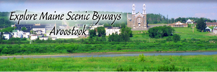
In Aroostook, Maine’s largest and northernmost county, visitors traverse wide open spaces and rolling countryside, encountering "big skies", historic communities, very little traffic, and the county’s deep-rooted Acadian history.
Fish River (Route 11)
Highlights: beaches, swimming holes, boating, canoeing, kayaking, fishing, foliage viewing, golf, hiking trails, historical landmarks, lake, pond, river views, mountain views, snowmobiling, state/national park, wildlife
One of the northern-most of Maine's scenic byways, the Fish River Scenic Byway - State Route 11 follows the rolling hills between Portage and Fort Kent. This drive offers outstanding views of wildflower meadows, Eagle Lake and Maine's tallest peak, Mt. Katahdin. Because much of the route is forested, you might catch a glimpse of eagles and moose along the way. Route 11 is a primary north-south corridor connecting Aroostook County, Maine with New Brunswick, Canada. Settled by the French-Acadians in the 19th century, the region is proud of the strong Acadian influence on its food and cultural traditions.
Million Dollar View (Route 1)
Highlights: boating, canoeing, kayaking, fishing, foliage viewing, fourwheeling, hiking trails, lake, pond, river views, mountain views, skiing, snowmobiling, wildlife
Here a warm welcome awaits the traveler in the rural communities along the byway route. Aptly called the "Million Dollar View", this stretch of U. S. Route 1 offers travelers unsurpassed views of the Chiputneticook chain of lakes including East Grand, Brackett and Deering (all teeming with fish). Travelers can also view rolling hayfields, Mount Katahdin, Peekaboo Mountain and the landscape of New Brunswick, Canada. Travelers may spot local wildlife including bears, deer, eagles, loons and moose. Scenic turnouts provide front-row seating for the vast and impressive views to the east and west.
Saint John Valley
Highlights: bicycling, boating, camping, canoeing, kayaking, fishing, foliage viewing, fourwheeling, hiking trails, historical landmarks, lake, pond, river views, rural, snowmobiling, state/national park, wildlife
The St. John Valley Cultural Byway, also know as the Parcours culturel de la Vall?e, is rich with Maine's Acadian heritage and culture. The byway travels a total of 92 miles along the northern border of Maine and through the St. John Valley.