Bike Tour Map & Details
More Tours
Kennebec & Moose River Valley
- Tour 19 - Kennebec River Valley
- Tour 20 - Waterville and China Lake
- Tour 21 - Capital Area
- Tour Maine's East Coast Greenway - River Route
Other Regional Tours
Photos
Click on a thumbnail to view larger image
Tour 19 - Kennebec River Valley
Region: Kennebec and Moose River Valley
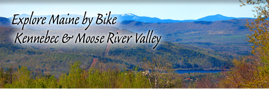
Highlights: historical landmarks, lake, pond, river views, low traffic, mountain views, rural, wildlife
| Name | Distance | Terrain |
|---|---|---|
| 30-mile ride | 30 | Moderate terrain, hilly, for intermediate cyclists |
| 41-mile ride | 41 | Moderate terrain, hilly, for intermediate cyclists |
| 67--mile ride | 67 | Varied terrain, steep hills, for experienced cyclists |
The relatively flat 30-mile loop winds through the agricultural areas of Cornville and Madison. The 41-mile loop is also a rugged, intermediate ride. The northernmost section in Solon has some good climbs and a few miles of gravel road. The hilly and scenic 67-mile gem winds through the historically important Kennebec River Valley and over a mix of agricultural land and rugged mountainous terrain. Long used by Native Americans as a thoroughfare between the St. Lawrence River Valley and the sea, the Kennebec River Valley was later settled by Europeans who attempted to scrape out a living from the rocky soil. Farmers carrying their produce to market once traversed the same roads over which bicyclists now travel. From there, it would be shipped by railroad to large cities such as Boston and New York.
Benedict Arnold also followed this route north to Canada during the Revolutionary War. A few cellar holes, stone fences, and the names of the long-gone towns remind travelers that at one time this area was vibrant. The route is very hilly, particularly the section between Athens and Bingham. Low gearing is essential. Much of the route passes through hardwood forest, so autumn is an especially beautiful time to ride these loops.
Special features: Route follows historic Arnold Trail; spectacular views from hardwood ridges; views of the Kennebec River and Valley; world?s tallest wooden Indian sculpture
Road conditions: Generally fair
Cautions: Roads are generally narrow and some have no shoulders. Give logging trucks lots of room. Services are available sporadically.
Starting point: All loops originate from the municipal parking lot in Skowhegan. The world?s tallest Indian sculpture is on the north side of this parking lot and the Skowhegan Information Center is on the south side. Head north on US 201 (Madison Avenue); the parking lot is on the right at the corner of US 201 and High Street.